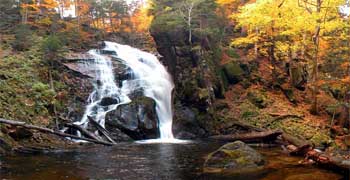
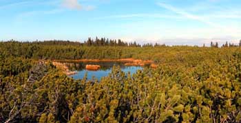
Pohorje is an Alpine mountain ridge with domed summits south of the Drava. It is situated in the triangle formed by the towns of Maribor (to the east), Dravograd (to the west) and Slovenske Konjice (to the south). To the northwest, it is bounded by the Mislinja River, to the south by the Vitanje Lowlands (Vitanjsko podolje), to the east it descends to the Drava Plain (Dravsko polje) and to the southeast it descends to the Pohorje Foothills (Podpohorske gorice). It measures about 50 km from east to west and 30 km from north to south and covers an area of ca. 840 km2. Its highest elevations are Črni Vrh (1.543 m). Forests cover over 70% of its area.
|

 virtual excursion