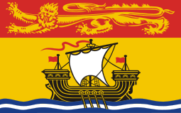
 New Brunswick New Brunswick
New Brunswick is one of Canada's three Maritime provinces (together with Prince Edward Island and Nova Scotia) and is the only constitutionally bilingual (English–French) province.
location: Canada. New Brunswick is bordered on the north by Quebec's Gaspé Peninsula and by Chaleur Bay. The eastern boundary is formed by the Gulf of Saint Lawrence and Northumberland Strait. The southeast corner of the province is connected to the Nova Scotia peninsula by the narrow Isthmus of Chignecto. The south of the province is bounded by the Bay of Fundy coast, (which with a rise of up to 19 m, has the highest tide in the world). The US state of Maine forms the western boundary.
capital: Fredericton, largest city: Moncton, second largest city: Saint John
landmarks: Alma, Fundy trail, Cape Enrage, Garden Creek, Hopewell Rocks, Reversal Falls, St. Martins, St. Stephen (The Canada chocolade town)
population: ~ 750,000
land area: 72,908 km2
land: 71,450 km2
water: 1,458 km2
lowest point: sea (0 m)
highest peak: Mont D'Iberville (1,652 m)
size: 3.6 x the size of Slovenia |


