In the lower part of the Zapoden Valley, Suhi Potok (Dry Brook) lives up to its name. Its wide riverbed is mostly dry, covered in gravel that resembles a mighty river without water. But during heavy rainfall, the landscape transforms dramatically: torrents rush down the surrounding mountain slopes, carrying gravel and even large boulders into the streambed. In those moments, Suhi Potok becomes a powerful, roaring torrent.
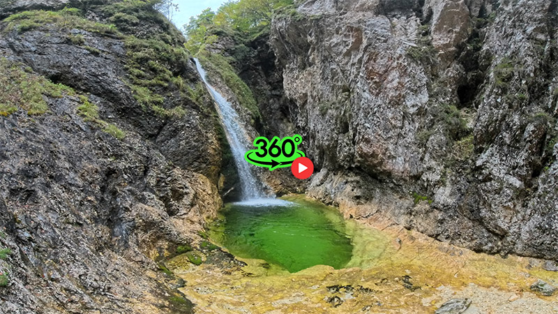
During dry periods, waterfalls are nowhere to be seen. Yet as the bed begins to rise and curve toward the gorge, a shallow greenish stream emerges from beneath the gravel. Further upstream, the flow strengthens until the first waterfall appears—a roughly 15-meter-high cascade pouring into a beautiful emerald pool nestled between the gorge walls.
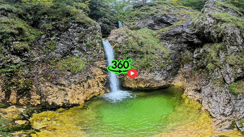
Above it, after 50 meters of flat streambed, lies a larger pool fed by two consecutive drops over rocky ledges, forming a unified 5-meter-high waterfall. The stream then flattens again before reaching a striking two-tiered waterfall, each tier about 7 meters high. Here, the water has carved a stone barrier, plunges into a shallow basin, and then continues into the next pool, calming as it flows onward.
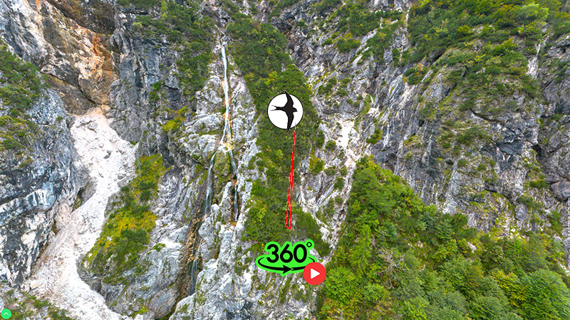
The streambed gradually rises toward a crumbly gorge and a natural basin, from which the fifth waterfall drops in two stages, totaling 6 meters. This marks the entrance to a glacial cirque—once part of the Soča Glacier—where the highest permanent waterfall in Triglav National Park tumbles down from beneath the Zapotok alpine pasture.
It begins as a single stream down a steep chute, then splits into a twin cascade that plunges another 73 meters after sliding 48 meters down the slope.
Fun fact: Although Suhi Potok is not the source of the Soča River, it contributes more water than the official Soča Spring located a few kilometers downstream.
Access
From the Vršič Pass, follow the paved road past the Koča pri izviru Soče mountain hut. A 2 km gravel road leads to a parking area, which serves as the starting point for hikes toward the Zavetišče pod Špičkom shelter and Mount Jalovec.
From the parking lot, continue along the road past the barrier toward the streambed of Suhi Potok. Walk along the left bank (with the stream on your left) until the road disappears into the gravel. Cross to the opposite bank, where a well-trodden path awaits. After about 15 minutes, you’ll reach a gravel confluence of two streambeds. The path fades here, so continue across the dry confluence between the two beds, where you’ll find another trail.
After 15 minutes of walking through shrubbery, the streambed of Suhi Potok reappears—right where the greenish water vanishes beneath the gravel. To reach the lower waterfall, follow the unmarked trail along the right bank. Within minutes, the gorge opens up, revealing a pool at its end, fed by a 15-meter-high waterfall.
This part of the trail is suitable for anyone accustomed to hiking and wearing proper footwear. It takes about 40 minutes of moderate walking from the parking lot to the lower waterfall.
To continue further, mountaineering boots are recommended. Return to the point where the stream disappears into the gravel and follow the unmarked trail uphill into the forest on the opposite side. The path is well-defined and easy to follow. After a short ascent, you’ll reach the top of the lower waterfall—caution is advised here, as the viewpoint is exposed.
Just above the waterfall lies a large dark green pool, fed by twin drops totaling just under 5 meters. After another 10 minutes, you’ll arrive at the third waterfall, 14 meters high. This is the most precarious section, as the narrow path leads directly above the waterfall’s edge.
From here, you can already see the impressive twin-stream waterfall cascading like a serpent’s tongue into the cirque below. The trail continues to the entrance of the gorge, where the terrain becomes crumbly and caution is essential. At the end of the gorge, near the head of the Zapoden Valley, lies one final, less prominent waterfall, 6 meters high. It takes about 30 minutes to hike from the lower waterfall to this point.


