Opis in lokacija
| Lokacija GPS: | N: 46°06'28" E: 13°54'13" |
| Nadmorska višina: | ~ 220 m (dno) |
| Skupna višina: | ~ 18 m (58 ft) |
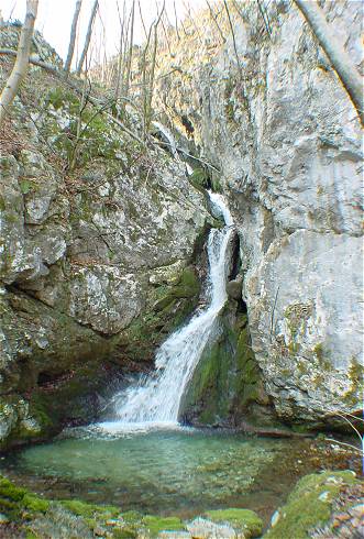
Slapišče pod Tilnikom se nahaja na območju imenovanem Stopnik. Nedaleč od ceste Idrija–Most na Soči, le nekaj deset metov hoje, je plitev tolmun, ob katerem so ruševine nekdaj delujočega mlina, ki je opuščen že več kot 30 let. Dostop do slapišča je lahek.
This D-letter shaped waterfall is located in the area named Stopnik. Here used to be a small water mill. The waterfall is only 20 m from the road Idrija – Most na Soči. Nearby is a bridge to the other side of the Idrijca river.

Slapišče pod Tilnikom (18 m)